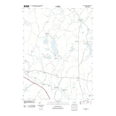
2010 Map of Lake Ariel
USGS Topo · Published 2010About this map
Lake Ariel and the surrounding plateau of Wayne County are defined by a complex network of glacial lakes and the headwaters of the West Branch Wallenpaupack Creek. By the early 21st century, this landscape maintained a patchwork of small crossroads settlements and industrial echoes, such as Wallenpaupack Mills and the Shaffer Power Dam. The area is notably dense with water bodies, ranging from the large Lake Henry and Spangenberg Lake to smaller features like Kizer Pond and Beyea Pond.
Find a feature on this map
85 named features on this map. Tap any name to fly to it.
Don’t see what you’re looking for? This feature index may not catch every label — zoom into the map to look around manually.
Map Details
Editions of this 2010 Lake Ariel Map
This is the sole edition of this map. No revisions or reprints were ever made.
Other maps of this area

1889 · Scranton
USGS Topo · 1:62,500

1891 · Scranton
USGS Topo · 1:62,500

1892 · Honesdale
USGS Topo · 1:62,500

1892 · Dundaff
USGS Topo · 1:62,500

1893 · Scranton
USGS Topo · 1:62,500

1928 · Ariel
USGS Topo · 1:62,500

1932 · Ariel
USGS Topo · 1:62,500

1943 · Scranton
USGS Topo · 1:125,000

1943 · Honesdale
USGS Topo · 1:125,000

1946 · Olyphant
USGS Topo · 1:24,000
Featured Places
- South Canaan Township, PA
- Sterling Township, PA
- Lake Ariel, PA
- Drinker, Jefferson Township
- Wallenpaupack Mills, PA