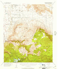
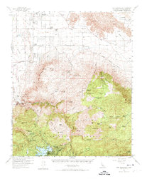
1956 Map of Lake Arrowhead
USGS Topo · Published 1957About this map
Lake Arrowhead and the surrounding mountain communities of Blue Jay and Cedar Glen are captured here during a period of mid-century development. While the southern portion of the map is defined by the high-elevation recreation sites and residential pockets like Deer Lodge Park, the northern half descends into the high desert landscape of Apple Valley Community Center and the Lucerne Valley. This contrast highlights the region's diverse settlement patterns, from the alpine forest of the San Bernardino National Forest to the ranching and colony lands of the Mojave basin.
Find a feature on this map
89 named features on this map. Tap any name to fly to it.
Don’t see what you’re looking for? This feature index may not catch every label — zoom into the map to look around manually.
Map Details
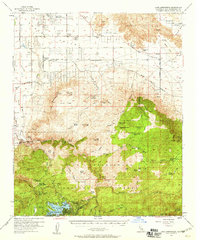
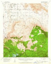
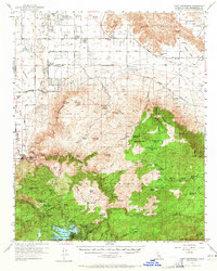
Editions of this 1956 Lake Arrowhead Map
5 editions found
Other maps of this area

1896 · San Bernardino
USGS Topo · 1:62,500

1898 · San Bernardino
USGS Topo · 1:62,500

1899 · Redlands
USGS Topo · 1:62,500

1901 · Southern California Sheet No. 1
USGS Topo · 1:250,000

1901 · San Bernardino
USGS Topo · 1:62,500

1901 · Redlands
USGS Topo · 1:62,500

1902 · Deep Creek
USGS Topo · 1:62,500

1902 · Hesperia
USGS Topo · 1:62,500

1902 · San Gorgonio
USGS Topo · 1:125,000

1904 · Southern California Sheet No. 1
USGS Topo · 1:250,000