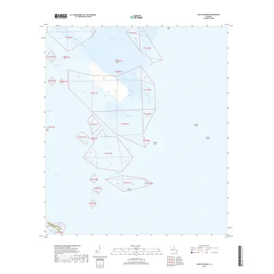
2018 Map of Lake Athanasio
USGS Topo · Published 2018About this map
The Mississippi River-Gulf Outlet Canal cuts a stark, linear path through the marshy labyrinth of southeast Louisiana, bisecting the coastal landscape near the border of St. Bernard Parish and Plaquemines Parish. This aquatic environment is defined by its fluid geography, where vast interior basins like Lake Athanasio and Seven Dollar Bay merge with smaller channels such as Mulatto Bayou and Bayou Frenepiquant. The map illustrates the fragile coastal interface of the late 2010s, showing a network of islands and points including Point Eloi, Gardner Island, and Grassy Island that buffer the inner bays from the open waters of the Gulf. Hydrological features like Pass Fernandez and Canal Pecal highlight the historical importance of water-based navigation and tidal exchange in this deltaic region, while the surveyor's lines track the complex township and range divisions across the shifting wetlands.
Find a feature on this map
18 named features on this map. Tap any name to fly to it.
Don’t see what you’re looking for? This feature index may not catch every label — zoom into the map to look around manually.
Map Details
Editions of this 2018 Lake Athanasio Map
This is the sole edition of this map. No revisions or reprints were ever made.
Other maps of this area

1893 · La Fortuna
USGS Topo · 1:62,500

1893 · Shell Beach
USGS Topo · 1:62,500

1893 · Dime
USGS Topo · 1:62,500

1895 · Bodreau
USGS Topo · 1:62,500

1935 · Morgan Harbor
USGS Topo · 1:31,680

1935 · Lake Athanasio
USGS Topo · 1:31,680

1935 · Lake Calebasse
USGS Topo · 1:31,680

1939 · Shell Beach
USGS Topo · 1:62,500

1941 · Black Bay
USGS Topo · 1:62,500

1941 · Shell Beach
USGS Topo · 1:62,500