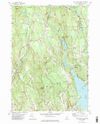
1981 Map of Lake Auburn West
USGS Topo · Published 1981About this map
Lake Auburn anchors the southeastern corner of this landscape, its western shores marked by Salmon Point and Pine Point. The 1981 terrain shows a transition from the water's edge into the rising highlands of Perkins Ridge and Marstons Hill. Settlement patterns are defined by small junctions and rural centers such as West Minot, North Auburn, and Hebron Station, the latter linked to the Buckfield Branch rail line. Evidence of the region's transport history is visible in the Old Railroad Grade winding through the northern hills near East Hebron.
Find a feature on this map
90 named features on this map. Tap any name to fly to it.
Don’t see what you’re looking for? This feature index may not catch every label — zoom into the map to look around manually.
Map Details
Editions of this 1981 Lake Auburn West Map
2 editions found
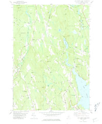
Other maps of this area

1908 · Poland
USGS Topo · 1:62,500

1908 · Lewiston
USGS Topo · 1:62,500

1910 · Livermore
USGS Topo · 1:62,500

1911 · Buckfield
USGS Topo · 1:62,500

1912 · Livermore
USGS Topo · 1:62,500

1913 · Buckfield
USGS Topo · 1:62,500

1940 · Poland
USGS Topo · 1:62,500

1941 · Livermore
USGS Topo · 1:62,500

1942 · Lewiston
USGS Topo · 1:62,500

1942 · Buckfield
USGS Topo · 1:62,500