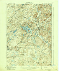
1916 Map of Lake Bonaparte
USGS Topo · Published 1935About this map
Lake Bonaparte anchors this Lewis County landscape during the early twentieth century, serving as a focal point for the surrounding towns of Pitcairn and Diana. The region’s economic life is defined by the Middle Branch Oswegatchie River and its various tributaries, which powered local industry at sites like Kimball Mill and Bishas Mills. Transportation through this often-marshy terrain, including the notable Sunday Swamp, was facilitated by the New York Central and the Carthage and Adirondack Ry, connecting remote outposts like Natural Bridge and Harrisville to larger markets.
Find a feature on this map
88 named features on this map. Tap any name to fly to it.
Don’t see what you’re looking for? This feature index may not catch every label — zoom into the map to look around manually.
Map Details
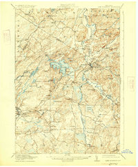
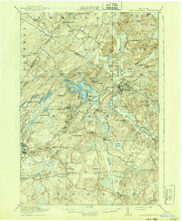
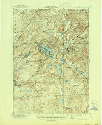
Editions of this 1916 Lake Bonaparte Map
5 editions found

Other maps of this area

1902 · Carthage
USGS Topo · 1:62,500

1904 · Carthage
USGS Topo · 1:62,500

1911 · Antwerp
USGS Topo · 1:62,500

1911 · Lowville
USGS Topo · 1:62,500

1912 · Hammond
USGS Topo · 1:62,500

1912 · Number Four
USGS Topo · 1:62,500

1913 · Lowville
USGS Topo · 1:62,500

1913 · Lake Bonaparte
USGS Topo · 1:62,500

1915 · Gouverneur
USGS Topo · 1:62,500

1915 · Number Four
USGS Topo · 1:62,500