
1916 Map of Lake Bonaparte
USGS Topo · Published 1916About this map
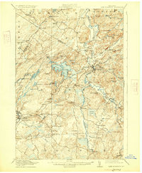
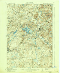
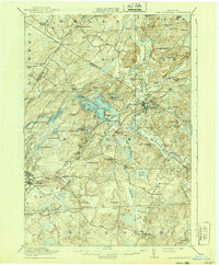
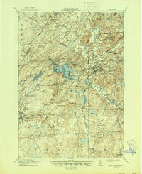
Lake Bonaparte serves as the central focal point of this northern New York landscape, where the waters of the Indian River and the Oswegatchie River weave through a network of small ponds and timbered hills. During this era, the region was defined by a scattered arrangement of rural settlements and remote schoolhouses, such as the California School and Shantyville School, which supported families in isolated pockets like Shantyville and Alpina. The industrial footprint of the time is visible through landmarks like Kimball Mill and Bishas Mill, reflecting a local economy tied to the river systems.
Find a feature on this map
83 named features on this map. Tap any name to fly to it.
Don’t see what you’re looking for? This feature index may not catch every label — zoom into the map to look around manually.
Map Details
Editions of this 1916 Lake Bonaparte Map
5 editions found
Other maps of this area

1902 · Carthage
USGS Topo · 1:62,500

1904 · Carthage
USGS Topo · 1:62,500

1911 · Antwerp
USGS Topo · 1:62,500

1911 · Lowville
USGS Topo · 1:62,500

1912 · Hammond
USGS Topo · 1:62,500

1912 · Number Four
USGS Topo · 1:62,500

1913 · Lowville
USGS Topo · 1:62,500

1913 · Lake Bonaparte
USGS Topo · 1:62,500

1915 · Gouverneur
USGS Topo · 1:62,500

1915 · Number Four
USGS Topo · 1:62,500