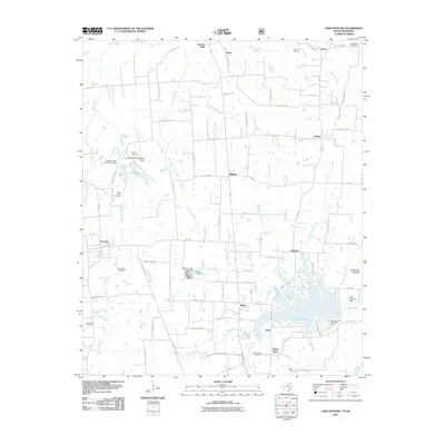
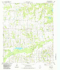
2010 Map of Lake Bonham
USGS Topo · Published 2010About this map
Lake Bonham dominates the southeastern portion of this Fannin County landscape, a significant reservoir formed by the Lake Bonham Dam and surrounded by the Lake Bonham Recreation Area. The map reveals a transition from the structured water management near the dam to the intricate network of creek systems feeding it, including Timber Creek, Sand Creek, and the East Oakland Branch. Small rural communities and historical junctions define the settlement patterns here, with Ravenna in the west and Ivanhoe to the north serving as local hubs for the surrounding agricultural lands.
Find a feature on this map
75 named features on this map. Tap any name to fly to it.
Don’t see what you’re looking for? This feature index may not catch every label — zoom into the map to look around manually.
Map Details
Editions of this 2010 Lake Bonham Map
This is the sole edition of this map. No revisions or reprints were ever made.
Other maps of this area

1954 · Sherman
USGS Topo · 1:250,000
1957 · Wade
USGS Topo · 1:62,500
1958 · Durant
USGS Topo · 1:62,500
1958 · Bonham
USGS Topo · 1:62,500
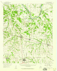
1958 · Whitesright
USGS Topo · 1:62,500

1958 · Sherman
USGS Topo · 1:250,000
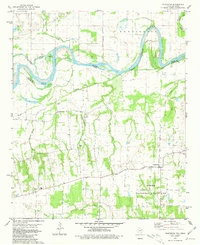
1980 · Telephone
USGS Topo · 1:24,000
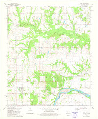
1980 · Kemp
USGS Topo · 1:24,000
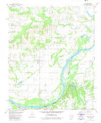
1980 · Yuba
USGS Topo · 1:24,000
1984 · Lamasco
USGS Topo · 1:24,000