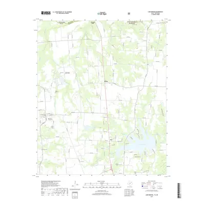
2019 Map of Lake Bonham
USGS Topo · Published 2019About this map
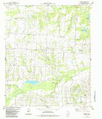
The Caddo National Grassland dominates the northern landscape of this Fannin County region, where the Texas-Oklahoma border is defined by the winding course of the Red River near Sowells Bluff. The terrain is deeply incised by numerous waterways such as Cottonwood Cr and Sandy Cr, which flow through a mix of agricultural land and wooded creek bottoms. In the south, Lake Bonham serves as a major geographical anchor, with its shoreline reaching towards the community of Boyd.
Find a feature on this map
130 named features on this map. Tap any name to fly to it.
Don’t see what you’re looking for? This feature index may not catch every label — zoom into the map to look around manually.
Map Details
Editions of this 2019 Lake Bonham Map
This is the sole edition of this map. No revisions or reprints were ever made.
Other maps of this area

1954 · Sherman
USGS Topo · 1:250,000

1957 · Wade
USGS Topo · 1:62,500

1958 · Durant
USGS Topo · 1:62,500

1958 · Bonham
USGS Topo · 1:62,500

1958 · Whitesright
USGS Topo · 1:62,500

1958 · Sherman
USGS Topo · 1:250,000
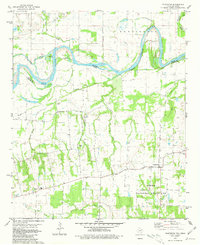
1980 · Telephone
USGS Topo · 1:24,000
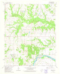
1980 · Kemp
USGS Topo · 1:24,000
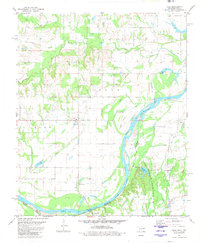
1980 · Yuba
USGS Topo · 1:24,000
1984 · Lamasco
USGS Topo · 1:24,000