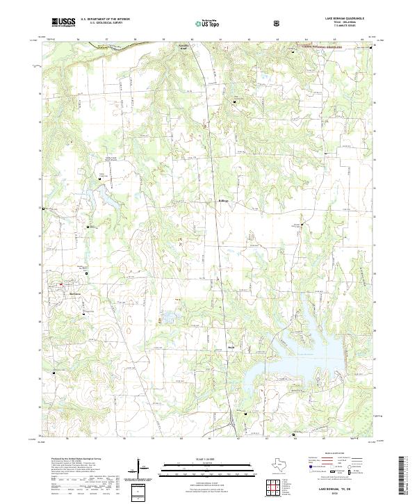
2022 Map of Lake Bonham
USGS Topo · Published 2022About this map
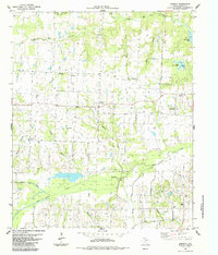
Caddo National Grassland dominates the northern reaches of this landscape along the border between Bryan County, Oklahoma and Fannin County, Texas. The terrain is defined by a dense network of tributaries including Cottonwood Cr, Wolf Cr, and Timber Cr, which feed into the prominent basin of Lake Bonham. The map reveals a high concentration of small, family-oriented cemeteries and historic sites that mark the rural character of this region, such as the Woodman Of The World Cem and the Pioneer Grave Yard.
Find a feature on this map
127 named features on this map. Tap any name to fly to it.
Don’t see what you’re looking for? This feature index may not catch every label — zoom into the map to look around manually.
Map Details
Editions of this 2022 Lake Bonham Map
This is the sole edition of this map. No revisions or reprints were ever made.
Other maps of this area

1954 · Sherman
USGS Topo · 1:250,000

1957 · Wade
USGS Topo · 1:62,500

1958 · Durant
USGS Topo · 1:62,500

1958 · Bonham
USGS Topo · 1:62,500

1958 · Whitesright
USGS Topo · 1:62,500

1958 · Sherman
USGS Topo · 1:250,000
1980 · Telephone
USGS Topo · 1:24,000
1980 · Kemp
USGS Topo · 1:24,000
1980 · Yuba
USGS Topo · 1:24,000
1984 · Lamasco
USGS Topo · 1:24,000