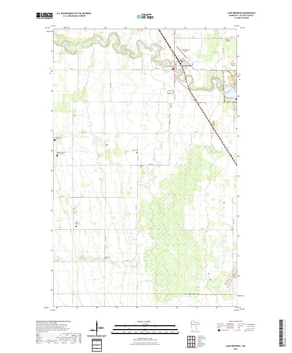
2022 Map of Lake Bronson
USGS Topo · Published 2022About this map
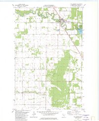
Lake Bronson sits at the intersection of a complex drainage network in northwestern Minnesota, where the winding loops of the South Branch Two Rivers meet the engineered precision of the State Ditch Number Forty Eight. This 2022 survey captures a landscape of long-established farmsteads and rural infrastructure, punctuated by numerous small burial sites that speak to the area’s genealogical history. Of particular note for local historians are the Mandie Johnson Farm Burials and the Bronson Pioneer Cem, which sit alongside more formal sites like Riverside Cem and Johansson Cem. The town core is tightly clustered around Main St and State St, with the Lake Bronson Airport serving as a local transportation hub. To the south, the grid of county roads such as Co Rd 19 and Co Rd 7 navigates a terrain of varied wetlands, reflecting the persistent work required to manage the water in this corner of Kittson County.
Find a feature on this map
33 named features on this map. Tap any name to fly to it.
Don’t see what you’re looking for? This feature index may not catch every label — zoom into the map to look around manually.
Map Details
Editions of this 2022 Lake Bronson Map
This is the sole edition of this map. No revisions or reprints were ever made.
Historical Maps of Lake Bronson Through Time
6 maps found