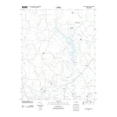
2010 Map of Lake Burlington
USGS Topo · Published 2010About this map
Stony Creek and the Haw River define the water-rich geography of this region north of Burlington, where several significant water management structures are located. The landscape is marked by the presence of Lake Burlington and the Stony Creek Reservoir, with detailed engineering features such as the Lake Burlington Sediment Pool Number One Dam and the Old Stony Creek Dam visible. These reservoirs and dams indicate the complex irrigation and water supply systems established to support the growing residential communities.
Find a feature on this map
88 named features on this map. Tap any name to fly to it.
Don’t see what you’re looking for? This feature index may not catch every label — zoom into the map to look around manually.
Map Details
Editions of this 2010 Lake Burlington Map
This is the sole edition of this map. No revisions or reprints were ever made.
Other maps of this area

1953 · Greensboro
USGS Topo · 1:250,000

1954 · Greensboro
USGS Topo · 1:250,000

1962 · Greensboro
USGS Topo · 1:250,000

1966 · Greensboro
USGS Topo · 1:250,000

1969 · Burlington
USGS Topo · 1:24,000

1969 · Mebane
USGS Topo · 1:24,000

1969 · Lake Burlington
USGS Topo · 1:24,000

1969 · Burlington NE
USGS Topo · 1:24,000

1970 · Gibsonville
USGS Topo · 1:24,000

1970 · Ossipee
USGS Topo · 1:24,000