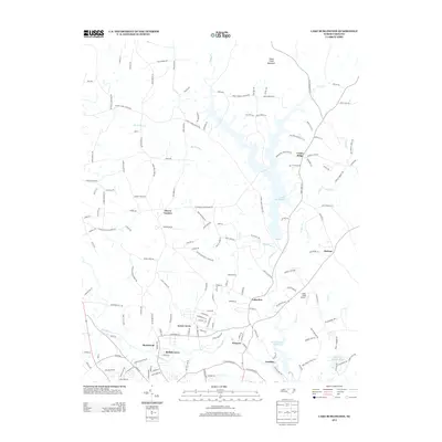
2013 Map of Lake Burlington
USGS Topo · Published 2013About this map
The Haw River and its major tributaries define the landscape of this region north of Burlington, where mid-century residential growth meets older rural foundations. Two significant bodies of water, Lake Burlington and the Stony Creek Reservoir, dominate the central and southeastern sections, illustrating the modern water infrastructure necessary for the area's development. Small, established communities like Glencoe and Carolina sit along the river's path, while northern settlements such as Union Ridge and Clover Garden maintain a more dispersed, agricultural character.
Find a feature on this map
155 named features on this map. Tap any name to fly to it.
Don’t see what you’re looking for? This feature index may not catch every label — zoom into the map to look around manually.
Map Details
Editions of this 2013 Lake Burlington Map
This is the sole edition of this map. No revisions or reprints were ever made.
Other maps of this area

1953 · Greensboro
USGS Topo · 1:250,000

1954 · Greensboro
USGS Topo · 1:250,000

1962 · Greensboro
USGS Topo · 1:250,000

1966 · Greensboro
USGS Topo · 1:250,000

1969 · Burlington
USGS Topo · 1:24,000

1969 · Mebane
USGS Topo · 1:24,000

1969 · Lake Burlington
USGS Topo · 1:24,000

1969 · Burlington NE
USGS Topo · 1:24,000

1970 · Gibsonville
USGS Topo · 1:24,000

1970 · Ossipee
USGS Topo · 1:24,000