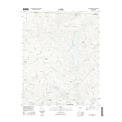
2016 Map of Lake Burlington
USGS Topo · Published 2016About this map
The Haw River corridor defines the southern landscape of this 2016 survey, where the river winds past the mill-town settlements of Glencoe and Carolina. These communities represent the industrial heritage of Alamance County, while further north, the terrain is dominated by the extensive waters of Lake Cammack and Lake Burlington. The transition from the urban edge of Burlington and Glen Raven to the rural expanses of Union Ridge and McCray illustrates the balance between modern development and traditional agricultural land.
Find a feature on this map
130 named features on this map. Tap any name to fly to it.
Don’t see what you’re looking for? This feature index may not catch every label — zoom into the map to look around manually.
Map Details
Editions of this 2016 Lake Burlington Map
This is the sole edition of this map. No revisions or reprints were ever made.
Other maps of this area

1953 · Greensboro
USGS Topo · 1:250,000

1954 · Greensboro
USGS Topo · 1:250,000

1962 · Greensboro
USGS Topo · 1:250,000

1966 · Greensboro
USGS Topo · 1:250,000

1969 · Burlington
USGS Topo · 1:24,000

1969 · Mebane
USGS Topo · 1:24,000

1969 · Lake Burlington
USGS Topo · 1:24,000

1969 · Burlington NE
USGS Topo · 1:24,000

1970 · Gibsonville
USGS Topo · 1:24,000

1970 · Ossipee
USGS Topo · 1:24,000