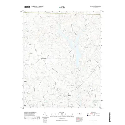
2019 Map of Lake Burlington
USGS Topo · Published 2019About this map
The Haw River serves as a central artery through this part of Alamance County, where the industrial legacy of textile production is visible in mill settlements like Glencoe and Carolina. These communities developed along the river's path, established near the water power required for nineteenth-century manufacturing. To the north, the terrain shifts toward the distinct elevation of Stony Creek Mtn, overlooking the winding reaches of Stony Creek and its tributary, Buttermilk Cr. The map captures a landscape transitioning between the urban edge of Burlington and Elon and the rural reaches of Clover Garden and Union Ridge. Local history is embedded in the road names, with routes like Geringer Mill Rd and Whitesell Brothers Rd tracing the movements of early families and local commerce across the county line into Caswell County.
Find a feature on this map
120 named features on this map. Tap any name to fly to it.
Don’t see what you’re looking for? This feature index may not catch every label — zoom into the map to look around manually.
Map Details
Editions of this 2019 Lake Burlington Map
This is the sole edition of this map. No revisions or reprints were ever made.
Other maps of this area

1953 · Greensboro
USGS Topo · 1:250,000

1954 · Greensboro
USGS Topo · 1:250,000

1962 · Greensboro
USGS Topo · 1:250,000

1966 · Greensboro
USGS Topo · 1:250,000

1969 · Burlington
USGS Topo · 1:24,000

1969 · Mebane
USGS Topo · 1:24,000

1969 · Lake Burlington
USGS Topo · 1:24,000

1969 · Burlington NE
USGS Topo · 1:24,000

1970 · Gibsonville
USGS Topo · 1:24,000

1970 · Ossipee
USGS Topo · 1:24,000