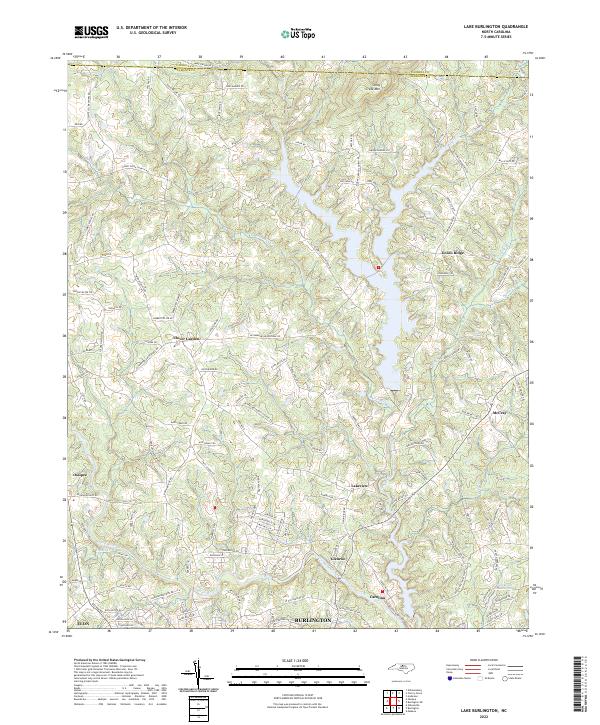
2022 Map of Lake Burlington
USGS Topo · Published 2022About this map
Stony Creek Mtn and the winding course of the Haw River define this portion of Alamance County, where the landscape transitions from rural uplands to the northern edges of Burlington. The map reveals a high density of named family roads and rural crossroads that hint at the area's agricultural and residential development, including Clover Garden and Union Ridge. Along the southern reaches, the industrial and community legacy of the region is evident in the proximity of Glencoe and Carolina to the river's path.
Find a feature on this map
127 named features on this map. Tap any name to fly to it.
Don’t see what you’re looking for? This feature index may not catch every label — zoom into the map to look around manually.
Map Details
Editions of this 2022 Lake Burlington Map
This is the sole edition of this map. No revisions or reprints were ever made.
Other maps of this area

1953 · Greensboro
USGS Topo · 1:250,000

1954 · Greensboro
USGS Topo · 1:250,000

1962 · Greensboro
USGS Topo · 1:250,000

1966 · Greensboro
USGS Topo · 1:250,000

1969 · Burlington
USGS Topo · 1:24,000

1969 · Mebane
USGS Topo · 1:24,000

1969 · Lake Burlington
USGS Topo · 1:24,000

1969 · Burlington NE
USGS Topo · 1:24,000

1970 · Gibsonville
USGS Topo · 1:24,000

1970 · Ossipee
USGS Topo · 1:24,000