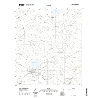
2021 Map of Lake Butler
USGS Topo · Published 2021About this map
Lake Butler serves as the focal point of this Union County survey, characterized by its grid of residential streets and the central Union County Courthouse. The landscape surrounding the town is defined by a complex network of wetlands and water bodies, including the expansive Butler Lake, Swift Creek Pond, and Richard Millpond. These natural features, alongside the Black Swamp and Piney Bay, illustrate the hydrologic character of the Florida interior. Transport and recreation are represented by the Florida National Scenic Trl which winds through the western portion of the quadrangle. Small outlying settlements like Raiford, Johnstown, and Danville are visible, while several local burial grounds, including Dekle Cem, Varnes Cem, and Little Rock Cem, provide essential data points for those researching family history in the region. The map also delineates the eastern boundary where Union County meets Bradford County.
Find a feature on this map
152 named features on this map. Tap any name to fly to it.
Don’t see what you’re looking for? This feature index may not catch every label — zoom into the map to look around manually.
Map Details
Editions of this 2021 Lake Butler Map
This is the sole edition of this map. No revisions or reprints were ever made.
Other maps of this area

1918 · Lawtey
USGS Topo · 1:62,500

1941 · Starke
USGS Topo · 1:62,500

1948 · Starke
USGS Topo · 1:50,000

1949 · Sampson
USGS Topo · 1:24,000

1949 · Starke
USGS Topo · 1:62,500

1954 · Gainesville
USGS Topo · 1:250,000

1954 · Valdosta
USGS Topo · 1:250,000

1958 · Valdosta
USGS Topo · 1:250,000

1958 · Gainesville
USGS Topo · 1:250,000

1959 · Valdosta
USGS Topo · 1:250,000