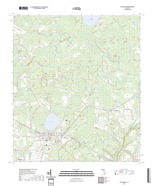
2024 Map of Lake Butler
USGS Topo · Published 2024About this map
Lake Butler serves as the focal point of this northern Florida landscape, centered around the Union County Courthouse and a grid of streets that transition into the surrounding wetlands and timberlands. The area is defined by a series of low-lying basins including Black Swamp, Swift Creek Swamp, and Granny Bay, which illustrate the complex drainage patterns feeding into the New River. Small family and community landmarks like Varnes Cem and Dekle Cem are tucked into the rural landscape, offering points of interest for genealogical research.
Find a feature on this map
107 named features on this map. Tap any name to fly to it.
Don’t see what you’re looking for? This feature index may not catch every label — zoom into the map to look around manually.
Map Details
Editions of this 2024 Lake Butler Map
This is the sole edition of this map. No revisions or reprints were ever made.
Other maps of this area

1918 · Lawtey
USGS Topo · 1:62,500

1941 · Starke
USGS Topo · 1:62,500

1948 · Starke
USGS Topo · 1:50,000

1949 · Sampson
USGS Topo · 1:24,000

1949 · Starke
USGS Topo · 1:62,500

1954 · Gainesville
USGS Topo · 1:250,000

1954 · Valdosta
USGS Topo · 1:250,000

1958 · Valdosta
USGS Topo · 1:250,000

1958 · Gainesville
USGS Topo · 1:250,000

1959 · Valdosta
USGS Topo · 1:250,000