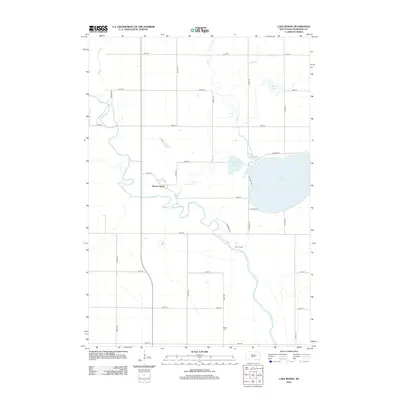
2012 Map of Lake Byron
USGS Topo · Published 2012About this map
The James River meanders across this Beadle County landscape, defining the character of the terrain just east of the Huron Colony Hutterite community. The river's winding path is complemented by several significant water bodies, most notably Lake Byron in the northeast and the smaller Connors Lake and Piper Lake. These water features reflect the glacial history of the region, providing a natural focal point for local settlement patterns and seasonal activity.
Find a feature on this map
28 named features on this map. Tap any name to fly to it.
Don’t see what you’re looking for? This feature index may not catch every label — zoom into the map to look around manually.
Map Details
Editions of this 2012 Lake Byron Map
This is the sole edition of this map. No revisions or reprints were ever made.
Other maps of this area

1895 · Byron
USGS Topo · 1:125,000

1898 · Huron
USGS Topo · 1:125,000

1953 · Huron
USGS Topo · 1:250,000

1954 · Huron
USGS Topo · 1:250,000

1956 · Lake Byron NW
USGS Topo · 1:24,000

1956 · Lake Byron
USGS Topo · 1:24,000

1956 · Spink Colony
USGS Topo · 1:24,000

1956 · Lake Byron SE
USGS Topo · 1:24,000

1956 · Hitchcock SE
USGS Topo · 1:24,000

1958 · Huron NW
USGS Topo · 1:24,000