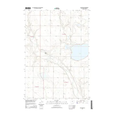
2015 Map of Lake Byron
USGS Topo · Published 2015About this map
Huron Colony stands as a focal point of this Beadle County landscape, situated west of the expansive Lake Byron. The terrain is defined by the winding course of the James River as it snakes through the southern sections, joined by the seasonal flow of Foster Cr. This mid-2010s survey reveals a traditional agrarian grid interrupted by significant glacial water bodies, including the tucked-away Piper Lake and Connors Lake. The presence of the Atfield Cem near the intersection of 402nd Ave and 199th St provides a specific point of interest for genealogists tracing local families in this portion of South Dakota. The road network, including S Shore Rd and Huron Colony Ln, outlines the modern accessibility of these historic waters and communal settlements.
Find a feature on this map
29 named features on this map. Tap any name to fly to it.
Don’t see what you’re looking for? This feature index may not catch every label — zoom into the map to look around manually.
Map Details
Editions of this 2015 Lake Byron Map
This is the sole edition of this map. No revisions or reprints were ever made.
Other maps of this area

1895 · Byron
USGS Topo · 1:125,000

1898 · Huron
USGS Topo · 1:125,000

1953 · Huron
USGS Topo · 1:250,000

1954 · Huron
USGS Topo · 1:250,000

1956 · Lake Byron NW
USGS Topo · 1:24,000

1956 · Lake Byron
USGS Topo · 1:24,000

1956 · Spink Colony
USGS Topo · 1:24,000

1956 · Lake Byron SE
USGS Topo · 1:24,000

1956 · Hitchcock SE
USGS Topo · 1:24,000

1958 · Huron NW
USGS Topo · 1:24,000