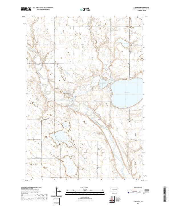
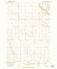
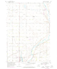
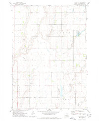
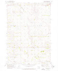
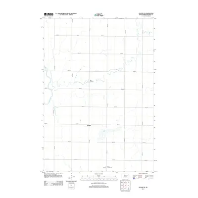
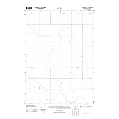
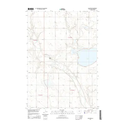
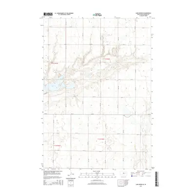
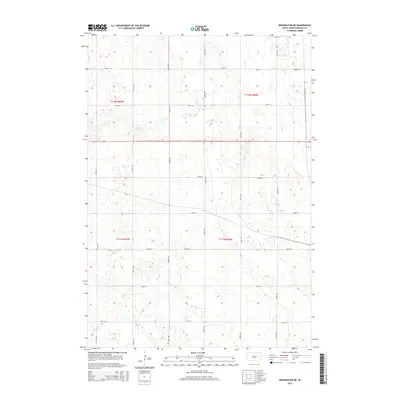
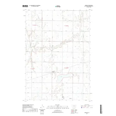
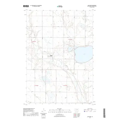
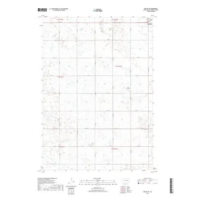
2021 Map of Lake Byron
USGS Topo · Published 2021About this map
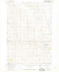
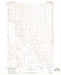
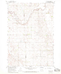
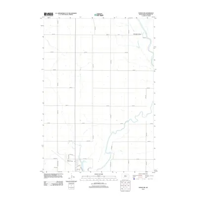
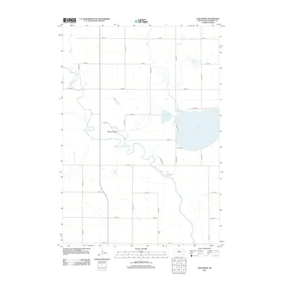
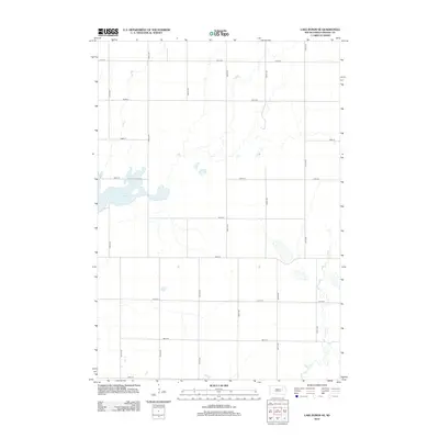
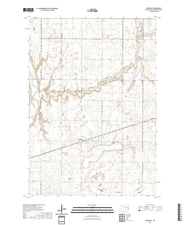
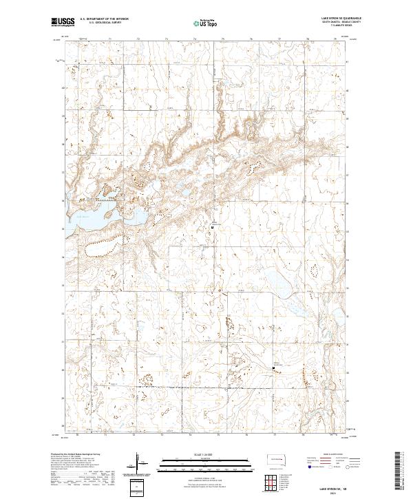
The James River meanders across this Beadle County landscape, shaping a terrain defined by glacial lakes and tributary drainages. This recent survey captures the communal settlement of Huron Colony established near the river banks, a testament to the enduring presence of Hutterite colonies in South Dakota. To the east, Lake Byron dominates the quadrangle, flanked by Connors Lake and Piper Lake, illustrating the post-glacial hydrology of the James River Valley. Genealogists and local historians can locate Atfield Cem, situated near the southern boundary along the grid of section lines that organize the rural farmland. The drainage patterns of Foster Cr and Foster Creek feed into the primary river system, providing a detailed look at the water-rich topography that supports the region's agricultural productivity.
Find a feature on this map
28 named features on this map. Tap any name to fly to it.
Don’t see what you’re looking for? This feature index may not catch every label — zoom into the map to look around manually.
Map Details
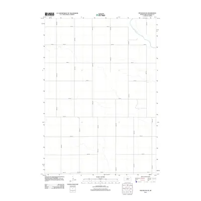
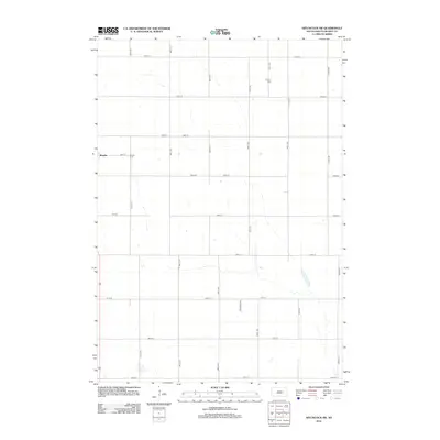
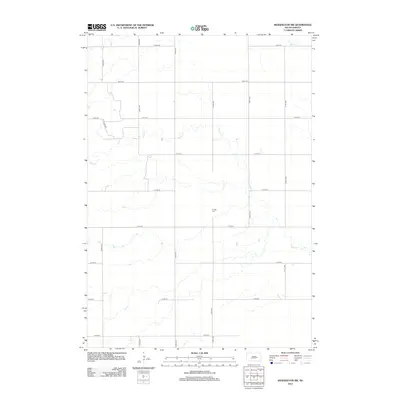
Editions of this 2021 Lake Byron Map
This is the sole edition of this map. No revisions or reprints were ever made.
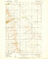
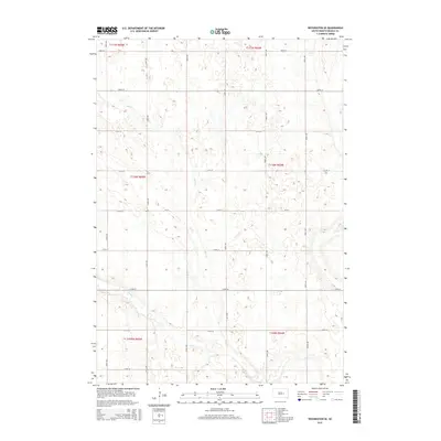
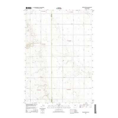
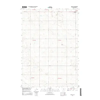
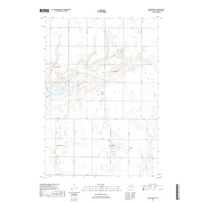
Historical Maps of Huron Hutterite Colony Through Time
65 maps found
1950 Wessington NE
Beadle County, SD
1951 Wessington SE
Beadle County, SD
1951 Wessington SW
Beadle County, SD
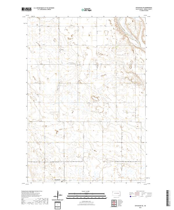
1956 Hitchcock SE
Beadle County, SD
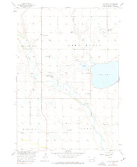
1956 Lake Byron
Beadle County, SD
1956 Lake Byron SE
Beadle County, SD
1958 Huron NE
Beadle County, SD
1958 Huron NW
Beadle County, SD
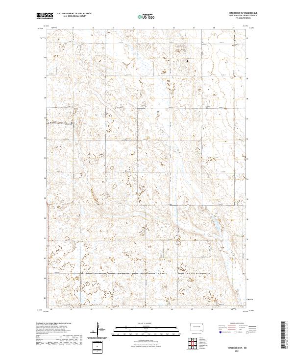
1967 Hitchcock SW
Beadle County, SD
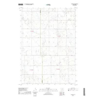
1967 Tulare SE
Beadle County, SD
1967 Tulare SW
Beadle County, SD
1973 Staum Dam
Beadle County, SD
1973 Wolsey SE
Beadle County, SD
2012 Hitchcock SE
Beadle County, SD
2012 Hitchcock SW
Beadle County, SD
2012 Huron NE
Beadle County, SD
2012 Huron NW
Beadle County, SD
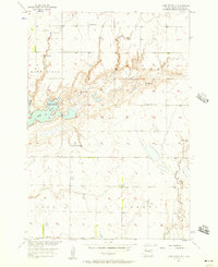
2012 Lake Byron
Beadle County, SD
2012 Lake Byron SE
Beadle County, SD
2012 Staum Dam
Beadle County, SD
2012 Tulare SE
Beadle County, SD
2012 Tulare SW
Beadle County, SD
2012 Wessington NE
Beadle County, SD
2012 Wessington SE
Beadle County, SD
2012 Wessington SW
Beadle County, SD
2012 Wolsey SE
Beadle County, SD
2015 Hitchcock SE
Beadle County, SD
2015 Hitchcock SW
Beadle County, SD
2015 Huron NE
Beadle County, SD
2015 Huron NW
Beadle County, SD
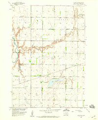
2015 Lake Byron
Beadle County, SD
2015 Lake Byron SE
Beadle County, SD
2015 Staum Dam
Beadle County, SD
2015 Tulare SE
Beadle County, SD
2015 Tulare SW
Beadle County, SD
2015 Wessington NE
Beadle County, SD
2015 Wessington SE
Beadle County, SD
2015 Wessington SW
Beadle County, SD
2015 Wolsey SE
Beadle County, SD
2017 Hitchcock SE
Beadle County, SD
2017 Hitchcock SW
Beadle County, SD
2017 Huron NE
Beadle County, SD
2017 Huron NW
Beadle County, SD
2017 Lake Byron
Beadle County, SD
2017 Lake Byron SE
Beadle County, SD
2017 Staum Dam
Beadle County, SD
2017 Tulare SE
Beadle County, SD
2017 Tulare SW
Beadle County, SD
2017 Wessington NE
Beadle County, SD
2017 Wessington SE
Beadle County, SD
2017 Wessington SW
Beadle County, SD
2017 Wolsey SE
Beadle County, SD
2021 Hitchcock SE
Beadle County, SD
2021 Hitchcock SW
Beadle County, SD
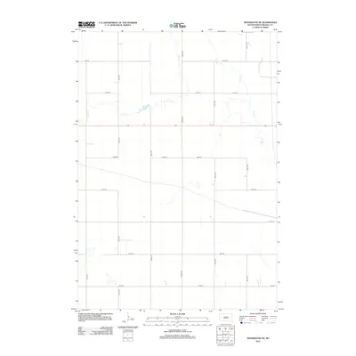
2021 Huron NE
Beadle County, SD
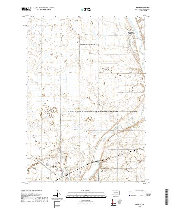
2021 Huron NW
Beadle County, SD
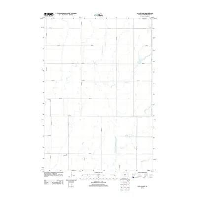
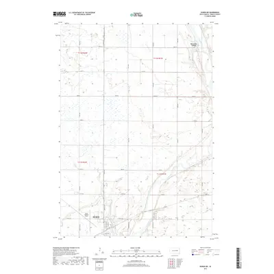
2021 Lake Byron
Beadle County, SD
2021 Lake Byron SE
Beadle County, SD
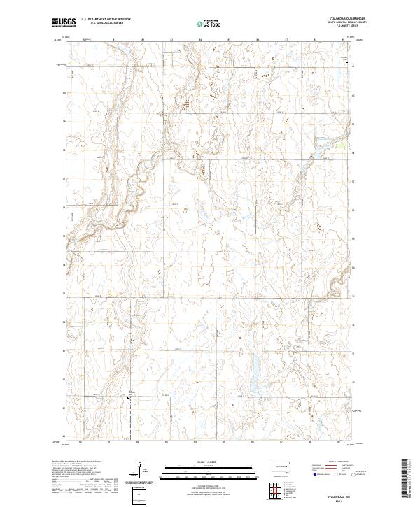
2021 Staum Dam
Beadle County, SD
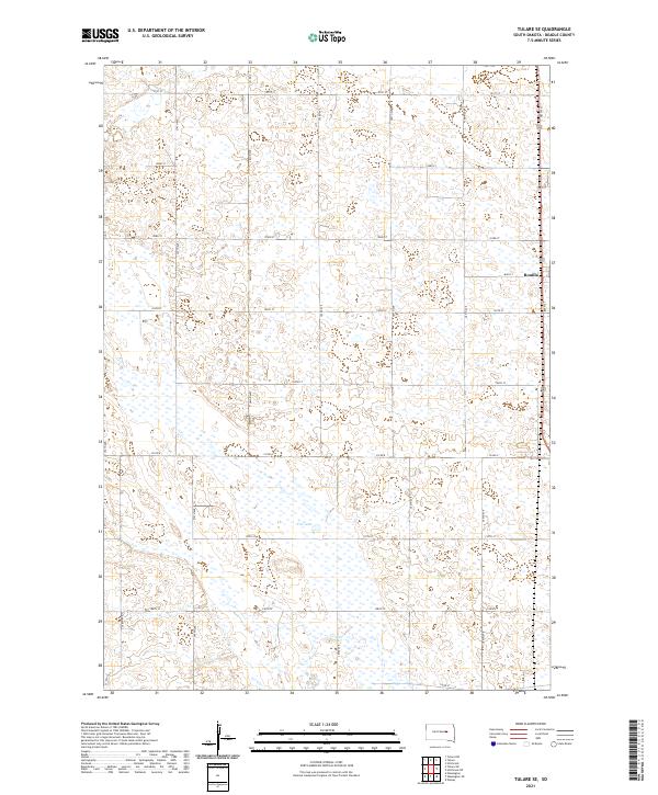
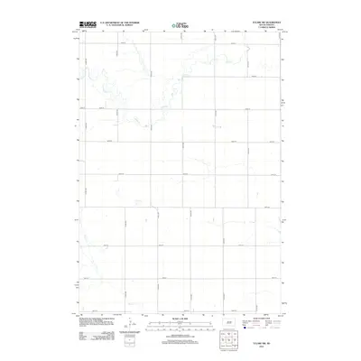
2021 Tulare SE
Beadle County, SD
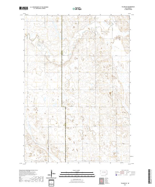
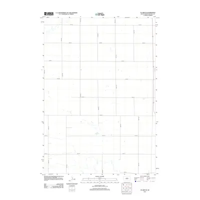
2021 Tulare SW
Beadle County, SD
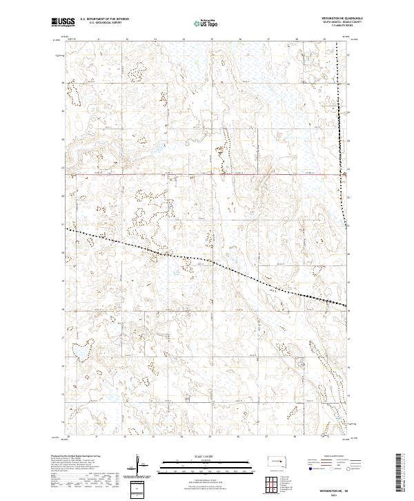
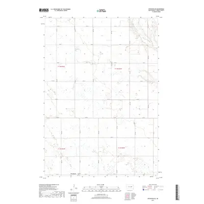
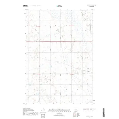
2021 Wessington NE
Beadle County, SD
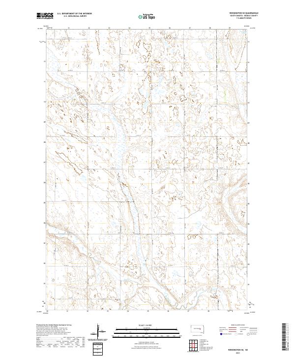
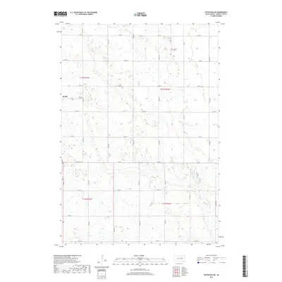
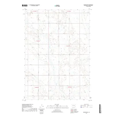
2021 Wessington SE
Beadle County, SD
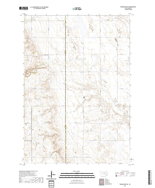
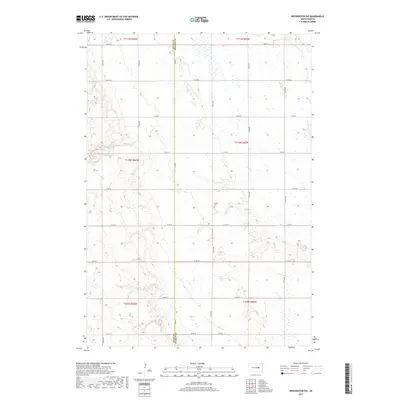
2021 Wessington SW
Beadle County, SD

2021 Wolsey SE
Beadle County, SD