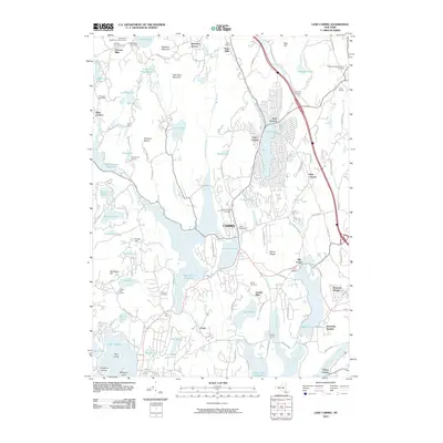
2010 Map of Lake Carmel
USGS Topo · Published 2010About this map
Carmel and its surrounding highlands are defined by a complex network of reservoirs and watercourses that serve the greater regional water supply. This 2010 survey illustrates the managed hydrologic landscape of Putnam County, featuring the expansive West Branch Reservoir and Lake Gleneida, alongside the Boyd-Corners Reservoir. The terrain is marked by significant elevations like Nimham Mount and Big Buck Mountain, which rise above a series of smaller ponds and brooks such as Horse Pound Brook and Wixon Pond.
Find a feature on this map
117 named features on this map. Tap any name to fly to it.
Don’t see what you’re looking for? This feature index may not catch every label — zoom into the map to look around manually.
Map Details
Editions of this 2010 Lake Carmel Map
This is the sole edition of this map. No revisions or reprints were ever made.
Other maps of this area

1892 · West Point
USGS Topo · 1:62,500

1892 · Carmel
USGS Topo · 1:62,500

1893 · Carmel
USGS Topo · 1:62,500

1893 · Clove
USGS Topo · 1:62,500

1893 · Poughkeepsie
USGS Topo · 1:62,500

1894 · West Point
USGS Topo · 1:62,500

1894 · Clove
USGS Topo · 1:62,500

1894 · Carmel
USGS Topo · 1:62,500

1894 · Poughkeepsie
USGS Topo · 1:62,500

1898 · Clove
USGS Topo · 1:62,500