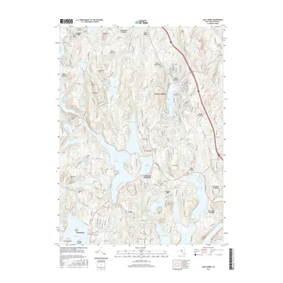
2016 Map of Lake Carmel
USGS Topo · Published 2016About this map
Carmel Hamlet and the surrounding township of Kent define this central Putnam County landscape, where an intricate network of reservoirs and lakes supports the regional water supply. The area around Lake Gleneida and Lake Carmel is characterized by its high concentration of historical burial sites and places of worship, such as the Kent-Fishkill Baptist Church and the Raymond Hill Cem. These landmarks, along with the Methodist Graveyard in Mahopac, provide essential touchpoints for genealogical research.
Find a feature on this map
95 named features on this map. Tap any name to fly to it.
Don’t see what you’re looking for? This feature index may not catch every label — zoom into the map to look around manually.
Map Details
Editions of this 2016 Lake Carmel Map
This is the sole edition of this map. No revisions or reprints were ever made.
Other maps of this area

1892 · West Point
USGS Topo · 1:62,500

1892 · Carmel
USGS Topo · 1:62,500

1893 · Carmel
USGS Topo · 1:62,500

1893 · Clove
USGS Topo · 1:62,500

1893 · Poughkeepsie
USGS Topo · 1:62,500

1894 · West Point
USGS Topo · 1:62,500

1894 · Clove
USGS Topo · 1:62,500

1894 · Carmel
USGS Topo · 1:62,500

1894 · Poughkeepsie
USGS Topo · 1:62,500

1898 · Clove
USGS Topo · 1:62,500