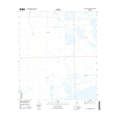
2015 Map of Lake Cataouatche West
USGS Topo · Published 2015About this map
The low-lying wetlands of the Mississippi River delta dominate this landscape, where the border of Lafourche Parish and St. Charles Parish cuts through an intricate network of waterways. Water management and industrial access are central themes, evidenced by the Louisiana Cypress Lumber Canal and the presence of Texaco Rd cutting through the marsh. These man-made features overlay an ancient system of natural bayous and bays, including Bayou Cypriere Longue and Baie des Chactas.
Find a feature on this map
17 named features on this map. Tap any name to fly to it.
Don’t see what you’re looking for? This feature index may not catch every label — zoom into the map to look around manually.
Map Details
Editions of this 2015 Lake Cataouatche West Map
This is the sole edition of this map. No revisions or reprints were ever made.
Other maps of this area

1891 · Hahnville
USGS Topo · 1:62,500

1891 · New Orleans
USGS Topo · 1:62,500

1892 · Barataria
USGS Topo · 1:62,500

1892 · Cut-Off
USGS Topo · 1:62,500

1932 · New Orleans NW
USGS Topo · 1:31,680

1932 · New Orleans SW
USGS Topo · 1:31,680

1932 · Hahnville NW
USGS Topo · 1:31,680

1932 · Hahnville SW
USGS Topo · 1:31,680

1932 · Hahnville NE
USGS Topo · 1:31,680

1935 · Luling
USGS Topo · 1:31,680