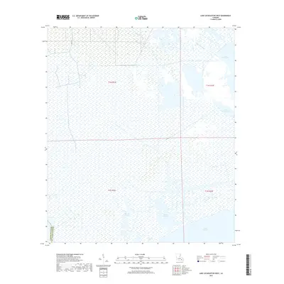
2018 Map of Lake Cataouatche West
USGS Topo · Published 2018About this map
Louisiana Cypress Lumber Canal cuts across the wetlands of the Lafourche Parish and St. Charles Parish border, illustrating the history of industrial transit in this marshland landscape. The area is dominated by the vast waters of Lake Cataouatche and Lake Salvador, connected by a complex network of waterways including Bayou Bois Piquant and Bayou des Saules.
Find a feature on this map
16 named features on this map. Tap any name to fly to it.
Don’t see what you’re looking for? This feature index may not catch every label — zoom into the map to look around manually.
Map Details
Editions of this 2018 Lake Cataouatche West Map
This is the sole edition of this map. No revisions or reprints were ever made.
Other maps of this area

1891 · Hahnville
USGS Topo · 1:62,500

1891 · New Orleans
USGS Topo · 1:62,500

1892 · Barataria
USGS Topo · 1:62,500

1892 · Cut-Off
USGS Topo · 1:62,500

1932 · New Orleans NW
USGS Topo · 1:31,680

1932 · New Orleans SW
USGS Topo · 1:31,680

1932 · Hahnville NW
USGS Topo · 1:31,680

1932 · Hahnville SW
USGS Topo · 1:31,680

1932 · Hahnville NE
USGS Topo · 1:31,680

1935 · Luling
USGS Topo · 1:31,680