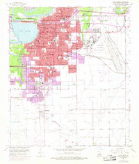
1955 Map of Lake Charles
USGS Topo · Published 1968About this map
McNeese State College and the expanding residential corridors of south Lake Charles define this mid-century period of growth in Calcasieu Parish. The map reveals a city transitioning through post-war development, with extensive photorevisions from 1967 showing the rapid outward spread of neighborhoods like University Place and Greinwich Village. Industrial and military footprints are prominent, anchored by the massive Chennault Air Force Base and the maritime infrastructure along the Calcasieu River.
Find a feature on this map
54 named features on this map. Tap any name to fly to it.
Don’t see what you’re looking for? This feature index may not catch every label — zoom into the map to look around manually.
Map Details
Editions of this 1955 Lake Charles Map
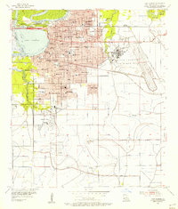
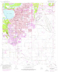
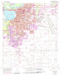
4 editions found
Other maps of this area

1932 · Lake Charles NE
USGS Topo · 1:31,680

1932 · Moss Lake
USGS Topo · 1:31,680

1932 · Lake Charles NW
USGS Topo · 1:31,680

1932 · Lake Charles SW
USGS Topo · 1:31,680

1932 · Lake Charles SE
USGS Topo · 1:31,680

1935 · Buhler
USGS Topo · 1:31,680

1935 · Moss Bluff
USGS Topo · 1:31,680

1942 · Lake Charles
USGS Topo · 1:62,500

1946 · Moss Lake
USGS Topo · 1:31,680

1947 · Moss Bluff
USGS Topo · 1:31,680
Featured Places
- Lake Charles, LA
- Westlake, LA
- Pine Acres Trailer Park, Lake Charles
- Hipple, LA
- University Place, Lake Charles