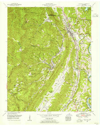
1952 Map of Lake City
USGS Topo · Published 1955About this map
Lake City and its surrounding coal-country communities are documented here during the early 1950s, a period where the local economy was anchored by the Southern and Louisville and Nashville railroads. The map highlights the intense settlement patterns of the Cumberland Plateau, where towns like Briceville and Fraterville follow the narrow creek valleys. A notable concentration of community landmarks, such as Miners Circle Cemetery and Rush Strong School, reflects the deep-rooted local history of this region. The terrain is dominated by the steep ridges of Walden Ridge and Vowell Mountain, with the impounded waters of Norris Lake appearing in the northeast. Numerous small churches, including Pine Hill Church and Mountain View Church, are scattered throughout the hollows, marking the social centers of these mining and timbering towns.
Find a feature on this map
78 named features on this map. Tap any name to fly to it.
Don’t see what you’re looking for? This feature index may not catch every label — zoom into the map to look around manually.
Map Details
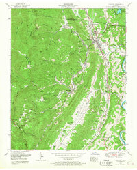
Editions of this 1952 Lake City Map
2 editions found
Other maps of this area

1893 · Briceville
USGS Topo · 1:125,000

1895 · Briceville
USGS Topo · 1:125,000

1896 · Briceville
USGS Topo · 1:125,000

1936 · Block
USGS Topo · 1:24,000

1936 · Jacksboro
USGS Topo · 1:24,000

1936 · Duncan Flats
USGS Topo · 1:24,000

1936 · Windrock
USGS Topo · 1:24,000

1936 · La Follette
USGS Topo · 1:48,000

1936 · Norris Dam
USGS Topo · 1:48,000
1936 · Coal Creek
USGS Topo · 1:24,000