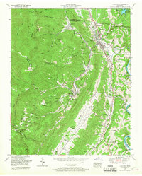
1952 Map of Lake City
USGS Topo · Published 1968About this map
The steep terrain of Walden Ridge and Vowell Mountain defines the landscape west of Lake City, where a legacy of intensive coal mining is etched into the topography. This mid-century survey documents the dense network of industrial settlements and family landmarks that populated the narrow valleys of Poplar Creek and the Clinch River. The map highlights the social fabric of these communities through numerous small churches like Willow Brook Church and schools such as Rush Strong School.
Find a feature on this map
111 named features on this map. Tap any name to fly to it.
Don’t see what you’re looking for? This feature index may not catch every label — zoom into the map to look around manually.
Map Details
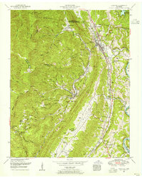
Editions of this 1952 Lake City Map
2 editions found
Other maps of this area

1893 · Briceville
USGS Topo · 1:125,000

1895 · Briceville
USGS Topo · 1:125,000

1896 · Briceville
USGS Topo · 1:125,000

1936 · Block
USGS Topo · 1:24,000

1936 · Jacksboro
USGS Topo · 1:24,000

1936 · Duncan Flats
USGS Topo · 1:24,000

1936 · Windrock
USGS Topo · 1:24,000

1936 · La Follette
USGS Topo · 1:48,000

1936 · Norris Dam
USGS Topo · 1:48,000
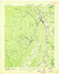
1936 · Coal Creek
USGS Topo · 1:24,000