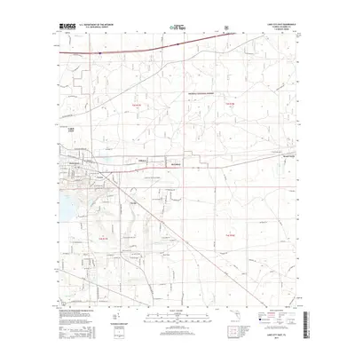
2015 Map of Lake City East
USGS Topo · Published 2015About this map
Lake City is anchored by its diverse infrastructure and residential growth, where the industrial and aviation hubs of Lake City Gateway Airport and Navair dominate the central landscape. The eastern outskirts transition into the protected woodlands of the Osceola National Forest, while several small named communities such as Watertown, Wilburn, and McColskey cluster along the main transit corridors. This 2015 survey reveals a complex network of local roads like NE Gum Swamp Rd and SE Baya Dr that connect established neighborhoods with the newer developments of Newco.
Find a feature on this map
77 named features on this map. Tap any name to fly to it.
Don’t see what you’re looking for? This feature index may not catch every label — zoom into the map to look around manually.
Map Details
Editions of this 2015 Lake City East Map
This is the sole edition of this map. No revisions or reprints were ever made.
Other maps of this area

1954 · Valdosta
USGS Topo · 1:250,000

1958 · Valdosta
USGS Topo · 1:250,000

1959 · Valdosta
USGS Topo · 1:250,000

1961 · Deep Creek
USGS Topo · 1:24,000

1961 · White Springs East
USGS Topo · 1:24,000

1962 · Lake City East
USGS Topo · 1:24,000

1963 · Olustee
USGS Topo · 1:24,000

1963 · Ellisville
USGS Topo · 1:24,000

1963 · Columbia
USGS Topo · 1:24,000

1963 · Lake City West
USGS Topo · 1:24,000