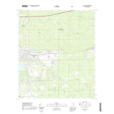
2021 Map of Lake City East
USGS Topo · Published 2021About this map
Lake City and its eastern surroundings are dominated by a blend of institutional growth and the expansive wilderness of the Osceola National Forest. The landscape is defined by the transition from the city's residential and educational hubs, such as Florida Gateway College, to the outlying rural settlements of Watertown, Newco, and Wilburn. Aviation history and current utility are represented by the sprawling Lake City Gateway Airport and the smaller Rossi Field to the south.
Find a feature on this map
104 named features on this map. Tap any name to fly to it.
Don’t see what you’re looking for? This feature index may not catch every label — zoom into the map to look around manually.
Map Details
Editions of this 2021 Lake City East Map
This is the sole edition of this map. No revisions or reprints were ever made.
Other maps of this area

1954 · Valdosta
USGS Topo · 1:250,000

1958 · Valdosta
USGS Topo · 1:250,000

1959 · Valdosta
USGS Topo · 1:250,000

1961 · Deep Creek
USGS Topo · 1:24,000

1961 · White Springs East
USGS Topo · 1:24,000

1962 · Lake City East
USGS Topo · 1:24,000

1963 · Olustee
USGS Topo · 1:24,000

1963 · Ellisville
USGS Topo · 1:24,000

1963 · Columbia
USGS Topo · 1:24,000

1963 · Lake City West
USGS Topo · 1:24,000