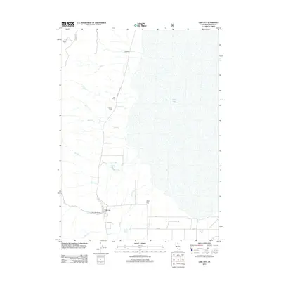
2012 Map of Lake City
USGS Topo · Published 2012About this map
Lake City serves as the focal point of this 2012 survey, situated at the base of the mountains where Lake City Canyon opens into the valley. The map documents the specific ranching landscape of Modoc County, identifying family-named holdings such as Hill Ranch, Parman Ranch, and Wilson Patch Ranch. This agricultural network is tied together by historic thoroughfares like Surprise Valley Rd and Upper Lake City Rd.
Find a feature on this map
27 named features on this map. Tap any name to fly to it.
Don’t see what you’re looking for? This feature index may not catch every label — zoom into the map to look around manually.
Map Details
Editions of this 2012 Lake City Map
This is the sole edition of this map. No revisions or reprints were ever made.
Other maps of this area

1886 · Alturas
USGS Topo · 1:250,000

1892 · Alturas
USGS Topo · 1:250,000

1954 · Alturas
USGS Topo · 1:250,000

1958 · Alturas
USGS Topo · 1:250,000

1962 · Alturas
USGS Topo · 1:250,000

1962 · Davis Creek
USGS Topo · 1:62,500

1962 · Willow Ranch
USGS Topo · 1:62,500

1962 · Cedarville
USGS Topo · 1:62,500

1962 · Fort Bidwell
USGS Topo · 1:62,500

1965 · Alturas
USGS Topo · 1:250,000