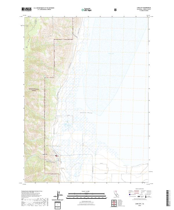
2022 Map of Lake City
USGS Topo · Published 2022About this map
The Warner Mountains rise sharply above the western floor of the Surprise Valley, defining the dramatic geography of this high desert region. At the base of these heights, the settlement of Lake City serves as a focal point for the surrounding ranchlands and foothills. To the east, the vast expanse of Upper Lake dominates the basin, while the immediate area is marked by unique geothermal features such as the Lake City Hot Springs near Wilkinson Cr.
Find a feature on this map
38 named features on this map. Tap any name to fly to it.
Don’t see what you’re looking for? This feature index may not catch every label — zoom into the map to look around manually.
Map Details
Editions of this 2022 Lake City Map
This is the sole edition of this map. No revisions or reprints were ever made.
Other maps of this area

1886 · Alturas
USGS Topo · 1:250,000

1892 · Alturas
USGS Topo · 1:250,000

1954 · Alturas
USGS Topo · 1:250,000

1958 · Alturas
USGS Topo · 1:250,000

1962 · Alturas
USGS Topo · 1:250,000

1962 · Davis Creek
USGS Topo · 1:62,500

1962 · Willow Ranch
USGS Topo · 1:62,500

1962 · Cedarville
USGS Topo · 1:62,500

1962 · Fort Bidwell
USGS Topo · 1:62,500

1965 · Alturas
USGS Topo · 1:250,000