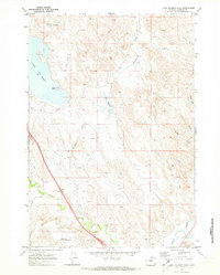
1970 Map of Lake De Smet East
USGS Topo · Published 1973About this map
Lake De Smet dominates the northwestern landscape of this Johnson County quadrangle, showing the character of Wyoming water management in the early 1970s. The map illustrates a complex network of man-made waterways designed to harness the drainage of the eastern Bighorn Mountains foothills, including the Lake De Smet Canal, Last Chance Ditch, and Redman Ditch. These irrigation features crisscross the terrain alongside natural drainages like Boxelder Creek and Rock Creek, which eventually feed into Clear Creek at the southern edge of the sheet.
Find a feature on this map
18 named features on this map. Tap any name to fly to it.
Don’t see what you’re looking for? This feature index may not catch every label — zoom into the map to look around manually.
Map Details
Editions of this 1970 Lake De Smet East Map
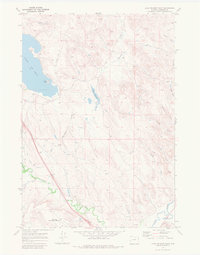
2 editions found
Other maps of this area

1900 · Fort McKinney
USGS Topo · 1:125,000

1903 · Fort McKinney
USGS Topo · 1:125,000

1909 · Sheridan
USGS Topo · 1:125,000

1911 · Sheridan
USGS Topo · 1:125,000

1955 · Sheridan
USGS Topo · 1:250,000

1958 · Sheridan
USGS Topo · 1:250,000

1962 · Sheridan
USGS Topo · 1:250,000

1967 · Lake De Smet West
USGS Topo · 1:24,000
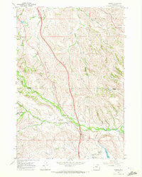
1967 · Banner
USGS Topo · 1:24,000
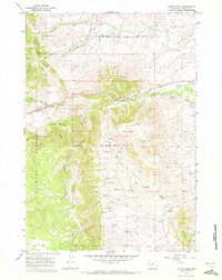
1967 · North Ridge
USGS Topo · 1:24,000