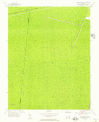
1954 Map of Lake Drummond NW
USGS Topo · Published 1956About this map
Dismal Swamp dominates this 1950s landscape, providing a specialized look at the engineered drainage systems and transit corridors crossing the wetlands on the border of Nansemond Co and Norfolk Co. The map reveals a network of man-made waterways essential to the region's historical timber and transport economy, including the Washington Ditch, Big Entry Ditch, and Fivemile Ditch. These straight-line cuts contrast with the natural density of the swamp, illustrating early efforts to manage this environment.
Find a feature on this map
10 named features on this map. Tap any name to fly to it.
Don’t see what you’re looking for? This feature index may not catch every label — zoom into the map to look around manually.
Map Details
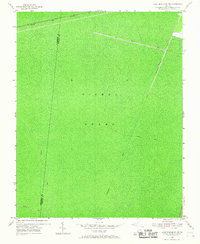
Editions of this 1954 Lake Drummond NW Map
2 editions found
Other maps of this area

1907 · Norfolk
USGS Topo · 1:125,000

1919 · Smithfield
USGS Topo · 1:62,500

1919 · Suffolk
USGS Topo · 1:62,500

1921 · Newport News
USGS Topo · 1:62,500

1940 · Lake Drummond
USGS Topo · 1:62,500

1944 · Norfolk South
USGS Topo · 1:25,000

1945 · Lake Drummond
USGS Topo · 1:62,500

1948 · Norfolk South
USGS Topo · 1:24,000

1949 · Chuckatuck
USGS Topo · 1:24,000
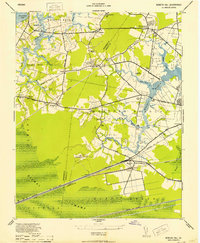
1952 · Bowers Hill
USGS Topo · 1:24,000