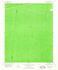
1954 Map of Lake Drummond NW
USGS Topo · Published 1967About this map
The Dismal Swamp dominates this landscape, showing the complex network of man-made waterways used to manage this terrain during the mid-20th century. Surveyed through a combination of 1940 planetable methods and 1953 aerial photography, the map highlights the geometric precision of the Washington Ditch, Jericho Ditch, and Portsmouth Ditch as they cut through the dense environment. These features represent a long history of drainage and transportation efforts in the region, including the Intracoastal Waterway running along the eastern boundary.
Find a feature on this map
9 named features on this map. Tap any name to fly to it.
Don’t see what you’re looking for? This feature index may not catch every label — zoom into the map to look around manually.
Map Details
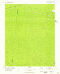
Editions of this 1954 Lake Drummond NW Map
2 editions found
Other maps of this area

1907 · Norfolk
USGS Topo · 1:125,000

1919 · Smithfield
USGS Topo · 1:62,500

1919 · Suffolk
USGS Topo · 1:62,500

1921 · Newport News
USGS Topo · 1:62,500

1940 · Lake Drummond
USGS Topo · 1:62,500

1944 · Norfolk South
USGS Topo · 1:25,000

1945 · Lake Drummond
USGS Topo · 1:62,500

1948 · Norfolk South
USGS Topo · 1:24,000

1949 · Chuckatuck
USGS Topo · 1:24,000
1952 · Bowers Hill
USGS Topo · 1:24,000