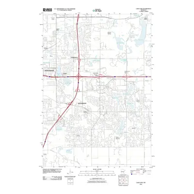
2010 Map of Lake Elmo
USGS Topo · Published 2010About this map
The suburban and parkland expansion of the eastern Twin Cities metro area defines this landscape, where the growing communities of Woodbury, Oakdale, and Maplewood converge. This 2010 survey highlights the intricate network of water bodies that characterize the region, including the prominent Lake Elmo and the Lake Elmo Regional Park Dam, alongside smaller basins like Tanners Lake and Battle Creek Lake. The map reveals a transition from dense residential developments to more structured recreational and spiritual spaces.
Find a feature on this map
54 named features on this map. Tap any name to fly to it.
Don’t see what you’re looking for? This feature index may not catch every label — zoom into the map to look around manually.
Map Details
Editions of this 2010 Lake Elmo Map
This is the sole edition of this map. No revisions or reprints were ever made.
Other maps of this area

1896 · St. Paul
USGS Topo · 1:62,500

1902 · White Bear
USGS Topo · 1:62,500

1946 · Hudson
USGS Topo · 1:62,500

1948 · Stillwater
USGS Topo · 1:62,500

1949 · Hudson
USGS Topo · 1:62,500

1949 · Stillwater
USGS Topo · 1:62,500

1949 · Lake Elmo
USGS Topo · 1:24,000

1949 · Hudson
USGS Topo · 1:24,000

1950 · Lake Elmo
USGS Topo · 1:24,000

1950 · Hudson
USGS Topo · 1:24,000