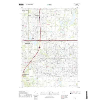
2019 Map of Lake Elmo
USGS Topo · Published 2019About this map
Woodbury and Oakdale anchor this detailed landscape in the eastern Twin Cities suburbs, illustrating a densely developed residential and commercial corridor. The map highlights numerous burial sites of local historical importance, including Woodbury Methodist Cem and the Saint John Lutheran Cem, which serve as vital landmarks for genealogists. The terrain is defined by a series of glacial lakes such as Lake Elmo, Eagle Point Lake, and Battle Creek Lake, which have shaped the community's parks and recreational boundaries. A significant portion of the southwestern corner is dedicated to the Mississippi National River and Recreation Area, contrasting the urban grid of Maplewood and North St. Paul with protected natural corridors. This modern topographic study reveals the intricate road network branching from Hudson Rd, showing how transportation infrastructure has integrated with the area's many water bodies like Tanners Lake and Armstrong Lake.
Find a feature on this map
51 named features on this map. Tap any name to fly to it.
Don’t see what you’re looking for? This feature index may not catch every label — zoom into the map to look around manually.
Map Details
Editions of this 2019 Lake Elmo Map
This is the sole edition of this map. No revisions or reprints were ever made.
Other maps of this area

1896 · St. Paul
USGS Topo · 1:62,500

1902 · White Bear
USGS Topo · 1:62,500

1946 · Hudson
USGS Topo · 1:62,500

1948 · Stillwater
USGS Topo · 1:62,500

1949 · Hudson
USGS Topo · 1:62,500

1949 · Stillwater
USGS Topo · 1:62,500

1949 · Lake Elmo
USGS Topo · 1:24,000

1949 · Hudson
USGS Topo · 1:24,000

1950 · Lake Elmo
USGS Topo · 1:24,000

1950 · Hudson
USGS Topo · 1:24,000