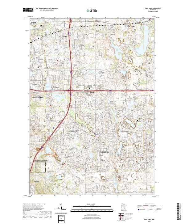
2022 Map of Lake Elmo
USGS Topo · Published 2022About this map
The dense suburban landscape of eastern St. Paul and the expanding communities of Oakdale and Woodbury are detailed in this 2022 survey. This region, where the Ramsey and Washington County line divides the terrain, shows a complex network of residential developments and institutional hubs like Rasmussen College and Globe University. For genealogists and local historians, several religious landmarks provide important points of reference, including Saint Paul's Priory Cemetery, the Woodbury Methodist Cemetery, and Saint John Lutheran Cemetery. Natural features like Lake Elmo and Battle Creek Lake are central to the geography, while the southwestern corner touches the protected lands of the Mississippi National River and Recreation Area. Smaller incorporated areas like Landfall and Oakbury represent the diverse municipal boundaries of the late modern era.
Find a feature on this map
94 named features on this map. Tap any name to fly to it.
Don’t see what you’re looking for? This feature index may not catch every label — zoom into the map to look around manually.
Map Details
Editions of this 2022 Lake Elmo Map
This is the sole edition of this map. No revisions or reprints were ever made.
Other maps of this area

1896 · St. Paul
USGS Topo · 1:62,500

1902 · White Bear
USGS Topo · 1:62,500

1946 · Hudson
USGS Topo · 1:62,500

1948 · Stillwater
USGS Topo · 1:62,500

1949 · Hudson
USGS Topo · 1:62,500

1949 · Stillwater
USGS Topo · 1:62,500

1949 · Lake Elmo
USGS Topo · 1:24,000

1949 · Hudson
USGS Topo · 1:24,000

1950 · Lake Elmo
USGS Topo · 1:24,000

1950 · Hudson
USGS Topo · 1:24,000