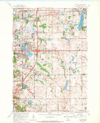
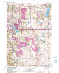
1967 Map of Lake Elmo
USGS Topo · Published 1969About this map
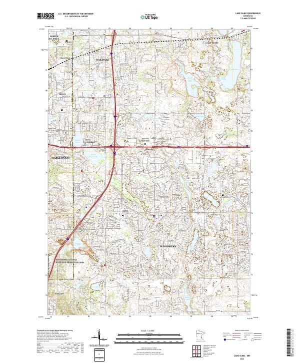
Lake Elmo and the surrounding glacial lake landscape dominate this mid-century portrait of Washington and Ramsey counties. The transition from agricultural land to suburban sprawl is evident as developments like Northdale, Maplewood, and Woodbury expand near the intersections of major transport corridors. Community life is anchored by local institutions such as Archbishop Murray Sch, St John Ch, and the Union Cem. The area's mid-century communication infrastructure is prominent, with several Radio Towers (KDWB) and Radio Towers (WRCR) dotting the horizon. Transportation history is recorded through the Chicago and North Western railroad tracks and established local thoroughfares like Afton Road and Minnehaha Ave. Natural drainage patterns are visible through a chain of water bodies including Eagle Point Lake, Tanners Lake, and Wilmes Lake, providing a look at the region's topography before more intensive modern development.
Find a feature on this map
59 named features on this map. Tap any name to fly to it.
Don’t see what you’re looking for? This feature index may not catch every label — zoom into the map to look around manually.
Map Details
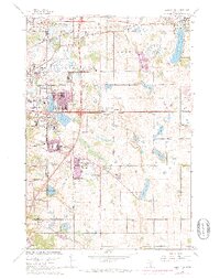
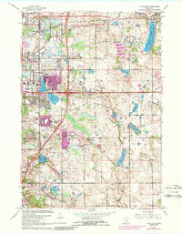
Editions of this 1967 Lake Elmo Map
4 editions found
Historical Maps of Battle Creek Through Time
4 maps found