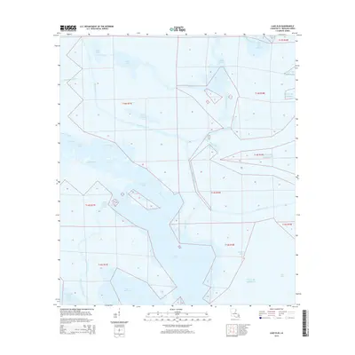
2015 Map of Lake Eloi
USGS Topo · Published 2015About this map
Bayou la Loutre meanders through the expansive wetlands of Saint Bernard Parish, serving as a central artery for this marsh-dominated landscape. This coastal region is defined by an intricate network of waterways where freshwater channels meet the brackish reaches of the Gulf of Mexico. Large bodies of water like Lake Eloi and Lake Athanasio dominate the southern portion of the sheet, while the northern reaches are fragmented by features such as Drum Lake and the oddly named Lake of the Mound. The presence of the Mississippi River-Gulf Outlet Canal in the southwest corner represents a significant human alteration to the natural hydrology of the delta. Navigational landmarks like Treasure Pass, Deep Pass, and Joe Shiman Pass illustrate the vital importance of waterborne transit for those navigating the complex interface of Eloi Bay and its surrounding bayous.
Find a feature on this map
34 named features on this map. Tap any name to fly to it.
Don’t see what you’re looking for? This feature index may not catch every label — zoom into the map to look around manually.
Map Details
Editions of this 2015 Lake Eloi Map
This is the sole edition of this map. No revisions or reprints were ever made.
Other maps of this area

1893 · La Fortuna
USGS Topo · 1:62,500

1893 · Shell Beach
USGS Topo · 1:62,500

1893 · Dime
USGS Topo · 1:62,500

1895 · Bodreau
USGS Topo · 1:62,500

1935 · Morgan Harbor
USGS Topo · 1:31,680

1935 · Lake Athanasio
USGS Topo · 1:31,680

1935 · Lake Calebasse
USGS Topo · 1:31,680

1939 · Shell Beach
USGS Topo · 1:62,500

1941 · Black Bay
USGS Topo · 1:62,500

1941 · Shell Beach
USGS Topo · 1:62,500