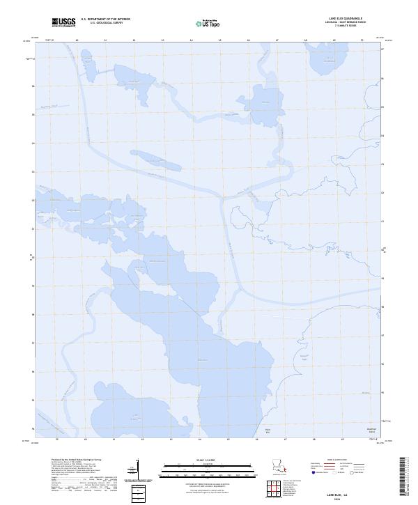
2024 Map of Lake Eloi
USGS Topo · Published 2024About this map
Lake Eloi and its surrounding wetlands define this coastal portion of Saint Bernard Parish, where a complex network of bayous and passes navigates the low-lying marsh. The Mississippi River-Gulf Outlet Canal cuts across the southern reach of the sheet, providing a stark man-made contrast to the winding natural courses of Bayou la Loutre and Bayou Petre. These waterways served as the primary transit corridors through the marshlands for generations of trappers and fishermen.
Find a feature on this map
35 named features on this map. Tap any name to fly to it.
Don’t see what you’re looking for? This feature index may not catch every label — zoom into the map to look around manually.
Map Details
Editions of this 2024 Lake Eloi Map
This is the sole edition of this map. No revisions or reprints were ever made.
Other maps of this area

1893 · La Fortuna
USGS Topo · 1:62,500

1893 · Shell Beach
USGS Topo · 1:62,500

1893 · Dime
USGS Topo · 1:62,500

1895 · Bodreau
USGS Topo · 1:62,500

1935 · Morgan Harbor
USGS Topo · 1:31,680

1935 · Lake Athanasio
USGS Topo · 1:31,680

1935 · Lake Calebasse
USGS Topo · 1:31,680

1939 · Shell Beach
USGS Topo · 1:62,500

1941 · Black Bay
USGS Topo · 1:62,500

1941 · Shell Beach
USGS Topo · 1:62,500