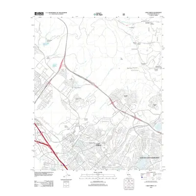
2012 Map of Lake Forest
USGS Topo · Published 2012About this map
Lake Forest and the expanding residential corridors of Rancho Santa Margarita dominate the lower portion of this 2012 survey, illustrating the modern suburban development of south Orange County. The landscape transitions from dense neighborhood grids and recreational sites like the Marine Memorial Golf Course to the steep, undeveloped terrain of the Santa Ana Mountains. To the north and east, canyons such as Ladd Canyon, Hicks Canyon, and Modjeska Canyon provide a stark contrast to the valley floor, where infrastructure like the International Raceway and major arteries including Portola Pkwy facilitate regional movement.
Find a feature on this map
122 named features on this map. Tap any name to fly to it.
Don’t see what you’re looking for? This feature index may not catch every label — zoom into the map to look around manually.
Map Details
Editions of this 2012 Lake Forest Map
This is the sole edition of this map. No revisions or reprints were ever made.
Other maps of this area

1896 · Santa Ana
USGS Topo · 1:62,500

1896 · Anaheim
USGS Topo · 1:62,500

1898 · Anaheim
USGS Topo · 1:62,500

1901 · Southern California Sheet No. 1
USGS Topo · 1:250,000

1901 · Santa Ana
USGS Topo · 1:62,500

1901 · Anaheim
USGS Topo · 1:62,500

1902 · Corona
USGS Topo · 1:125,000

1904 · Southern California Sheet No. 1
USGS Topo · 1:250,000

1932 · Orange
USGS Topo · 1:31,680

1932 · Tustin
USGS Topo · 1:31,680