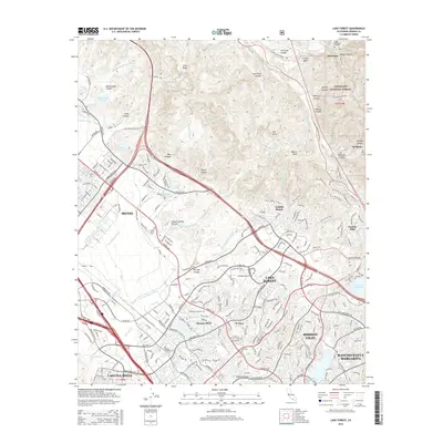
2015 Map of Lake Forest
USGS Topo · Published 2015About this map
Lake Forest and its surrounding Southern California suburbs are shown here in a period of dense residential and commercial development, contrasted sharply by the protected canyons of the Cleveland National Forest. The map documents the sprawling street networks of Mission Viejo, Irvine, and Rancho Santa Margarita, where master-planned communities have replaced earlier ranching landscapes. Key local landmarks include El Toro Memorial Park and Ascension Cemetery, while the hydrological engineering of the region is evident in the numerous impoundments like Lake Mission Viejo, Siphon Reservoir, and Veeh Reservoir.
Find a feature on this map
79 named features on this map. Tap any name to fly to it.
Don’t see what you’re looking for? This feature index may not catch every label — zoom into the map to look around manually.
Map Details
Editions of this 2015 Lake Forest Map
This is the sole edition of this map. No revisions or reprints were ever made.
Other maps of this area

1896 · Santa Ana
USGS Topo · 1:62,500

1896 · Anaheim
USGS Topo · 1:62,500

1898 · Anaheim
USGS Topo · 1:62,500

1901 · Southern California Sheet No. 1
USGS Topo · 1:250,000

1901 · Santa Ana
USGS Topo · 1:62,500

1901 · Anaheim
USGS Topo · 1:62,500

1902 · Corona
USGS Topo · 1:125,000

1904 · Southern California Sheet No. 1
USGS Topo · 1:250,000

1932 · Orange
USGS Topo · 1:31,680

1932 · Tustin
USGS Topo · 1:31,680