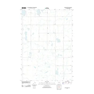
2012 Map of Lake Francis
USGS Topo · Published 2012About this map
The small settlement of Moritz serves as the central landmark for this prairie landscape in Deuel County. The terrain is defined by a dense network of glacial wetlands and watercourses, including Lake Francis, Rush Lake, and the aptly named Lone Tree Lake. These water bodies are connected by a series of intermittent and perennial streams such as Monighan Cr and Crow Cr, which drain toward the Br Lac qui Parle River at the eastern edge of the quadrangle.
Find a feature on this map
26 named features on this map. Tap any name to fly to it.
Don’t see what you’re looking for? This feature index may not catch every label — zoom into the map to look around manually.
Map Details
Editions of this 2012 Lake Francis Map
This is the sole edition of this map. No revisions or reprints were ever made.
Other maps of this area

1953 · Watertown
USGS Topo · 1:250,000

1958 · Watertown
USGS Topo · 1:250,000

1967 · Gary
USGS Topo · 1:24,000

1967 · Canby NW
USGS Topo · 1:24,000

1967 · Gary NW
USGS Topo · 1:24,000

1970 · Brandt
USGS Topo · 1:24,000

1970 · Clear Lake South
USGS Topo · 1:24,000

1973 · Tunerville
USGS Topo · 1:24,000
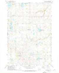
1973 · Lake Francis
USGS Topo · 1:24,000
1973 · Clear Lake NE
USGS Topo · 1:24,000