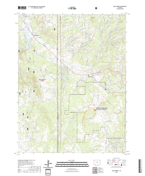
2022 Map of Lake George
USGS Topo · Published 2022About this map
Florissant Fossil Beds National Monument anchors the eastern portion of this map, protecting a landscape where ancient geology meets modern recreation. The settlement of Florissant sits near the crossing of Twin Cr, while further northwest, the community of Lake George serves as a gateway to the South Platte River and the expansive Pike National Forest. The geography is defined by prominent elevations such as Crystal Peak and Blue Mtn, with the Park Co Teller Co boundary bisecting the terrain.
Find a feature on this map
118 named features on this map. Tap any name to fly to it.
Don’t see what you’re looking for? This feature index may not catch every label — zoom into the map to look around manually.
Map Details
Editions of this 2022 Lake George Map
This is the sole edition of this map. No revisions or reprints were ever made.
Other maps of this area

1893 · Platte Canyon
USGS Topo · 1:125,000

1894 · Pikes Peak
USGS Topo · 1:125,000

1901 · Pikes Peak
USGS Topo · 1:125,000

1901 · Pikes Peak
USGS Topo · 1:62,500

1951 · Cripple Creek North
USGS Topo · 1:24,000

1953 · Denver
USGS Topo · 1:250,000

1954 · Signal Butte
USGS Topo · 1:24,000

1954 · Divide
USGS Topo · 1:24,000

1954 · Pueblo
USGS Topo · 1:250,000

1956 · Tarryall
USGS Topo · 1:24,000