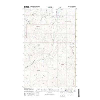
2014 Map of Lake Gillette
USGS Topo · Published 2014About this map
Colville National Forest and Kanisku National Forest dominate this section of Stevens County, where the Little Pend Oreille River carves a path through high timberlands. The landscape is defined by its recreation hubs and water bodies, most notably the cluster of Lake Thomas, Gillette Lake, and Sherry Lake near the Gillette Recreation Area. These lakes, along with smaller features like Coffin Lake, suggest a long-standing tradition of seasonal use and conservation in the northeastern Washington highlands.
Find a feature on this map
32 named features on this map. Tap any name to fly to it.
Don’t see what you’re looking for? This feature index may not catch every label — zoom into the map to look around manually.
Map Details
Editions of this 2014 Lake Gillette Map
This is the sole edition of this map. No revisions or reprints were ever made.
Other maps of this area

1927 · Chewelah
USGS Topo · 1:125,000

1929 · Colville
USGS Topo · 1:125,000

1930 · Chewelah
USGS Topo · 1:125,000

1933 · Colville
USGS Topo · 1:125,000

1934 · Metaline
USGS Topo · 1:125,000

1936 · Newport
USGS Topo · 1:96,000

1942 · Metaline
USGS Topo · 1:125,000

1942 · Newport
USGS Topo · 1:125,000

1952 · Aladdin
USGS Topo · 1:24,000

1958 · Sandpoint
USGS Topo · 1:250,000