
1968 Map of Lake Hassel
USGS Topo · Published 1970About this map
Glacial depressions and marshlands dominate this portion of the Minnesota prairie, where the boundaries of Blue Mounds, Langhei, and Benson townships meet. The landscape is defined by its complex hydrology, with the large expanse of Lake Hassel and its neighbor Lake Moore situated near the southern border. Smaller bodies like Gundar Lake, Paulson Lake, and the elongated Benson Lake are scattered across the northern sections, illustrating the region's post-glacial topography.
Find a feature on this map
22 named features on this map. Tap any name to fly to it.
Don’t see what you’re looking for? This feature index may not catch every label — zoom into the map to look around manually.
Map Details
Editions of this 1968 Lake Hassel Map
This is the sole edition of this map. No revisions or reprints were ever made.
Other maps of this area

1953 · Saint Cloud
USGS Topo · 1:250,000

1957 · Saint Cloud
USGS Topo · 1:250,000

1958 · Saint Cloud
USGS Topo · 1:250,000

1968 · Cyrus
USGS Topo · 1:24,000

1968 · Starbuck
USGS Topo · 1:24,000

1968 · De Graff
USGS Topo · 1:24,000

1968 · Benson
USGS Topo · 1:24,000
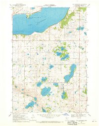
1968 · Lake Minnewaska
USGS Topo · 1:24,000
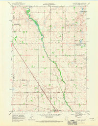
1968 · Clontarf North
USGS Topo · 1:24,000
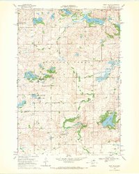
1968 · Swift Falls
USGS Topo · 1:24,000