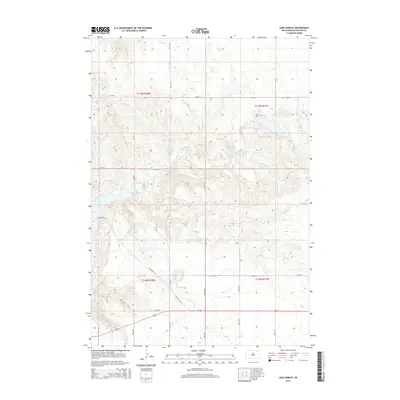
2015 Map of Lake Hurley
USGS Topo · Published 2015About this map
Lake Hurley and the surrounding prairie of Potter County characterize this 2015 topographic survey. The landscape is defined by the drainage patterns of Little Cheyenne Cr as it winds toward the eastern shores of Lake Oahe, which appears at the western edge of the map. This area of South Dakota maintains its rural township structure, with property and section lines marked by a grid of local roads such as Cr-103 and 158th St. The presence of E Whitlock Acc and Sd-1804 indicates the primary corridors for access to the Missouri River reservoirs. These modern access roads and the surrounding section lines provide a clear view of how public land and local infrastructure interact with the natural coulees and depressions of the northern Great Plains.
Find a feature on this map
21 named features on this map. Tap any name to fly to it.
Don’t see what you’re looking for? This feature index may not catch every label — zoom into the map to look around manually.
Map Details
Editions of this 2015 Lake Hurley Map
This is the sole edition of this map. No revisions or reprints were ever made.
Other maps of this area

1953 · McIntosh
USGS Topo · 1:250,000

1954 · Pierre
USGS Topo · 1:250,000

1958 · Pierre
USGS Topo · 1:250,000

1958 · McIntosh
USGS Topo · 1:250,000

1969 · Four Bear Creek
USGS Topo · 1:24,000

1969 · Patch Skin Buttes SE
USGS Topo · 1:24,000

1970 · Steamboat Creek
USGS Topo · 1:24,000

1970 · Lake Hurley
USGS Topo · 1:24,000

1970 · Lake Hurley NE
USGS Topo · 1:24,000

1970 · Agar NW
USGS Topo · 1:24,000