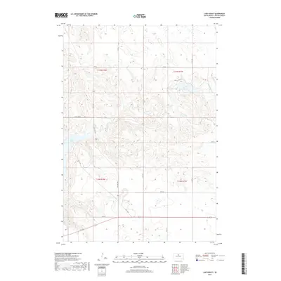
2017 Map of Lake Hurley
USGS Topo · Published 2017About this map
Lake Hurley and the vast Missouri River reservoir of Lake Oahe define this prairie landscape in Potter County. The terrain is shaped by the winding course of Little Cheyenne Cr, which cuts through the high plains toward the reservoir shoreline. Transport patterns in this area follow a mix of modern infrastructure and legacy routes, with State Hwy 1804 running north-south through the center of the sheet. For those tracing the evolution of local travel, the presence of Old 212 Rd indicates an earlier alignment of the regional highway system. The map also documents the precise section lines and rural grid of the South Dakota plains, featuring numbered routes like W Whitlock Rd and Hurly Pl that serve the scattered homesteads and agricultural tracts of the region.
Find a feature on this map
21 named features on this map. Tap any name to fly to it.
Don’t see what you’re looking for? This feature index may not catch every label — zoom into the map to look around manually.
Map Details
Editions of this 2017 Lake Hurley Map
This is the sole edition of this map. No revisions or reprints were ever made.
Other maps of this area

1953 · McIntosh
USGS Topo · 1:250,000

1954 · Pierre
USGS Topo · 1:250,000

1958 · Pierre
USGS Topo · 1:250,000

1958 · McIntosh
USGS Topo · 1:250,000

1969 · Four Bear Creek
USGS Topo · 1:24,000

1969 · Patch Skin Buttes SE
USGS Topo · 1:24,000

1970 · Steamboat Creek
USGS Topo · 1:24,000

1970 · Lake Hurley
USGS Topo · 1:24,000

1970 · Lake Hurley NE
USGS Topo · 1:24,000

1970 · Agar NW
USGS Topo · 1:24,000