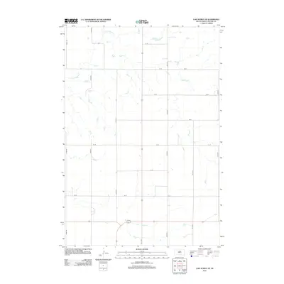
2012 Map of Lake Hurley SE
USGS Topo · Published 2012About this map
Little Cheyenne Cr meanders across the northern reaches of this Potter County landscape, carving a natural drainage pattern through an otherwise orderly section-line grid. This area of central South Dakota reflects the late 20th-century rural infrastructure, where a network of precisely spaced roads like 303rd Ave and 157 St defines the agricultural parcels. This 2012 survey illustrates the enduring dominance of the township-and-range system, with long-established property boundaries and drainage paths that have shaped local farming and ranching for generations. While largely unpopulated, the terrain is defined by its transition from prairie stream beds to the straight-line corridors of the county road system, providing a clear record of the modern rural layout in the Great Plains.
Find a feature on this map
15 named features on this map. Tap any name to fly to it.
Don’t see what you’re looking for? This feature index may not catch every label — zoom into the map to look around manually.
Map Details
Editions of this 2012 Lake Hurley SE Map
This is the sole edition of this map. No revisions or reprints were ever made.
Other maps of this area

1953 · Huron
USGS Topo · 1:250,000

1953 · McIntosh
USGS Topo · 1:250,000

1954 · Aberdeen
USGS Topo · 1:250,000

1954 · Pierre
USGS Topo · 1:250,000

1954 · Huron
USGS Topo · 1:250,000

1956 · Aberdeen
USGS Topo · 1:250,000

1958 · Pierre
USGS Topo · 1:250,000

1958 · McIntosh
USGS Topo · 1:250,000

1970 · Steamboat Creek
USGS Topo · 1:24,000

1970 · Lake Hurley
USGS Topo · 1:24,000