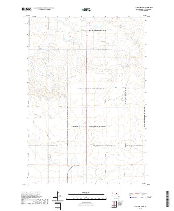
2021 Map of Lake Hurley SE
USGS Topo · Published 2021About this map
Little Cheyenne Cr meanders through the rolling prairie of Potter County, defining the drainage patterns across this rural landscape. This section of South Dakota is meticulously organized by the Public Land Survey System, with township and range lines such as t119n r77w and t118n r76w forming a rigid grid of square-mile sections. This geometric layout is reflected in the modern road network, where gravel routes like Co Rd 104 and 157th St follow section lines to connect isolated farmsteads. The terrain is marked by subtle elevation changes and small depressions, characteristic of the glaciated plains. North-south corridors such as 305th Ave serve as the primary arteries for local transit, anchoring a region dedicated to large-scale agriculture and open pasture land.
Find a feature on this map
20 named features on this map. Tap any name to fly to it.
Don’t see what you’re looking for? This feature index may not catch every label — zoom into the map to look around manually.
Map Details
Editions of this 2021 Lake Hurley SE Map
This is the sole edition of this map. No revisions or reprints were ever made.
Other maps of this area

1953 · Huron
USGS Topo · 1:250,000

1953 · McIntosh
USGS Topo · 1:250,000

1954 · Aberdeen
USGS Topo · 1:250,000

1954 · Pierre
USGS Topo · 1:250,000

1954 · Huron
USGS Topo · 1:250,000

1956 · Aberdeen
USGS Topo · 1:250,000

1958 · Pierre
USGS Topo · 1:250,000

1958 · McIntosh
USGS Topo · 1:250,000

1970 · Steamboat Creek
USGS Topo · 1:24,000

1970 · Lake Hurley
USGS Topo · 1:24,000